Trails
Fly a famous walk.
Pick a trail and the viewer loads it from OpenStreetMap, lays it on the land and flies it.
Belgium
-
 GPX ↗
Promenade des Échelles
ladders up the Semois cliffs at Rochehaut4.5 km -
 GPX ↗
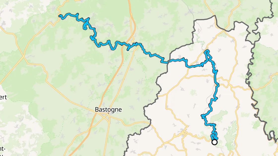
TransArdennaise
La Roche-en-Ardenne to Bouillon152 km -
 GPX ↗
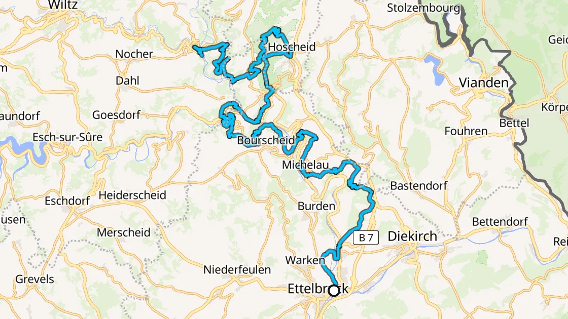
GR 57 Sentier de l'Ourthe orientale
Nisramont to Troisvierges76 km -
 GPX ↗
La grande ronde des Fagnes
the high moor of the Hautes Fagnes8.5 km -
 GPX ↗
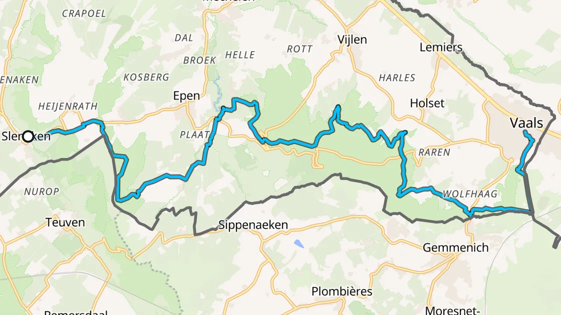
GR 56 Sentier des Frontières
Gemmenich to Ouren along the German border157 km -
 GPX ↗
Zwin walk
dunes and salt marsh at the border11 km
France
Germany
-
 GPX ↗
Malerweg
the Painters' Way through Saxon Switzerland117 km -
 GPX ↗
Bastei loop
the rock bridge over the Elbe9.5 km -
 GPX ↗
Hermannsweg
the Teutoburg Forest, Rheine to the Externsteine165 km -
 GPX ↗
Rothaarsteig
Brilon over the Kahler Asten to Dillenburg152 km -
 GPX ↗
Rheinburgenweg
castles of the Middle Rhine, Rolandsbogen to Bingen196 km -
 GPX ↗
Lieserpfad
Daun down the Lieser to the Moselle56 km -
 GPX ↗
Cloef-Pfad
the Saar loop at Mettlach7.7 km
Italy
Luxembourg
Netherlands
Maps OpenFreeMap © OpenMapTiles, data © OpenStreetMap contributors. Trails from OpenStreetMap through Waymarked Trails.